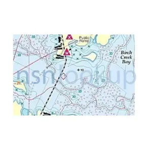
Hydrographic Maps, Charts and Geodetic Products - United States (US)
Federal Supply Class (FSC): 7642
NATO Supply Classification Class (NSC): 7642
Federal Supply Group (FSG): 76 Books, Maps, and Other Publications
NATO Supply Classification Group (NSG): 76 Books, Maps, and Other Publications
Items Managed by United States (US) - NCB is 00 to 09
Page 2 of 26
NSN Format for Hydrographic Maps, Charts and Geodetic Products
Codified by United States
| 76 | 42 | 01 | XXX | XXXX | |||
|---|---|---|---|---|---|---|---|
| Group FSG | Class | NCB | Identifier | ||||
| FSC Federal Supply Class | NIIN | ||||||
| NSN | |||||||
NATO Supply Class 7642 is a classification within NATO Supply Group 76, which is designated for Books, Maps, and Other Publications.
Specifically, NATO Supply Class 7642 is focused on Hydrographic Maps, Charts, and Geodetic Products. Hydrographic maps and charts are used for navigation purposes, particularly in marine environments. They provide detailed information about water depths, coastlines, navigational aids, and other features relevant to safe navigation.
Geodetic products, on the other hand, are related to geodesy, which is the science of measuring and representing the Earth's surface. Geodetic products include various types of maps, charts, and data related to the Earth's shape, gravity field, and geodetic reference systems.
In the context of NATO, the classification of Hydrographic Maps, Charts, and Geodetic Products under NATO Supply Class 7642 indicates their importance for military operations, particularly in maritime and geospatial domains. These products are essential for planning and executing naval operations, ensuring safe navigation, and supporting geospatial analysis and intelligence.
It is worth noting that NATO Supply Classes and Groups are used for standardizing the classification and codification of military supplies and equipment across NATO member countries. This helps in inventory management, logistics, and interoperability among NATO forces.

 Frequently Asked Questions(FAQ) for Federal Supply Class 7642
- What is Federal Supply Class 7642?
- FSC 7642 is the Federal Supply Class (formally known as NATO Supply Classification Class NSC 7642) in the USA for supply items codified in the category of Hydrographic Maps, Charts and Geodetic Products.
- What is NATO Supply Classification Class 7642?
- NSC 7642 is the NATO Supply Classification Class (also known as Federal Supply Class FSC 7642 in the USA) for supply items codified in the category of Hydrographic Maps, Charts and Geodetic Products.
- Which Federal Supply Group is FSC 7642 in?
- FSC 7642 is in Federal Supply Group (FSG) 76 which contains Books, Maps, and Other Publications.
- Which NATO Supply Classification Group is NSC 7642 in?
- NSC 7642 is in NATO Supply Classification Group (NSG) 76 which contains Books, Maps, and Other Publications.
 Supply Items Included in Federal Supply Class 7642
- What is a Hydrographic Geospatial Products? 10758 Items
- A Hydrographic Geospatial Products is a map, chart, or geodetic product, distributed by the Defense Mapping Agency, which is associated with water navigation, tracking, and charting.