7640-25-135-0280
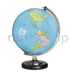
Map
7640251350280 251350280 M715 1512-II
A sheet or plate representing on a plain surface all or part of earth's surface, showing physical, natural, statistical and/or political features, or division. Excludes CHART; CHART, RECORDING INSTRUMENT; PLATE, INSTRUCTION; and SHEET, TECHNICAL. View more Map
![]()
Managed by Norway
NSN Created on 3 Apr 1987
Data Last Changed
January 2023
January 2023
NATO Update Count
1
1
NATO Data Quality
 Marketplace 7640-25-135-0280
Need Help?
Request a Quotation from participating marketplace vendors
Request a Quotation from participating marketplace vendors
 Related Documents 7640-25-135-0280 1+ Documents (More...)
RQST NE Updated Every Day 7640-25-135-0280 RQST Updated Every Day 7640-25-135-0280 RQST NE Related Documents
7640-25-135-0280 1+ Documents ( More... ) https//www.nsnlookup.com /fsg-76/fsc-7640/no 7640-25-135-0280
Map 7640251350280251350280,M715 1512-II RQST NE Updated Every Day 7640-25-135-0280 RQST Updated Every
7640-25-135-0280 1+ Documents ( More... ) https//www.nsnlookup.com /fsg-76/fsc-7640/no 7640-25-135-0280
Map 7640251350280251350280,M715 1512-II RQST NE Updated Every Day 7640-25-135-0280 RQST Updated Every
 Restrictions 7640-25-135-0280
 End Users 7640-25-135-0280
- Norway (ZT)
 Approved Sources 7640-25-135-0280
- Part Number
- Manufacturer
- Status
- M715 1512-II
- Manufacturer
- N1572 - Forsvarets Militaergeografiske (Active)
- Primary Buy
- Primary Buy
 Similar Supply Items to 7640-25-135-0280
